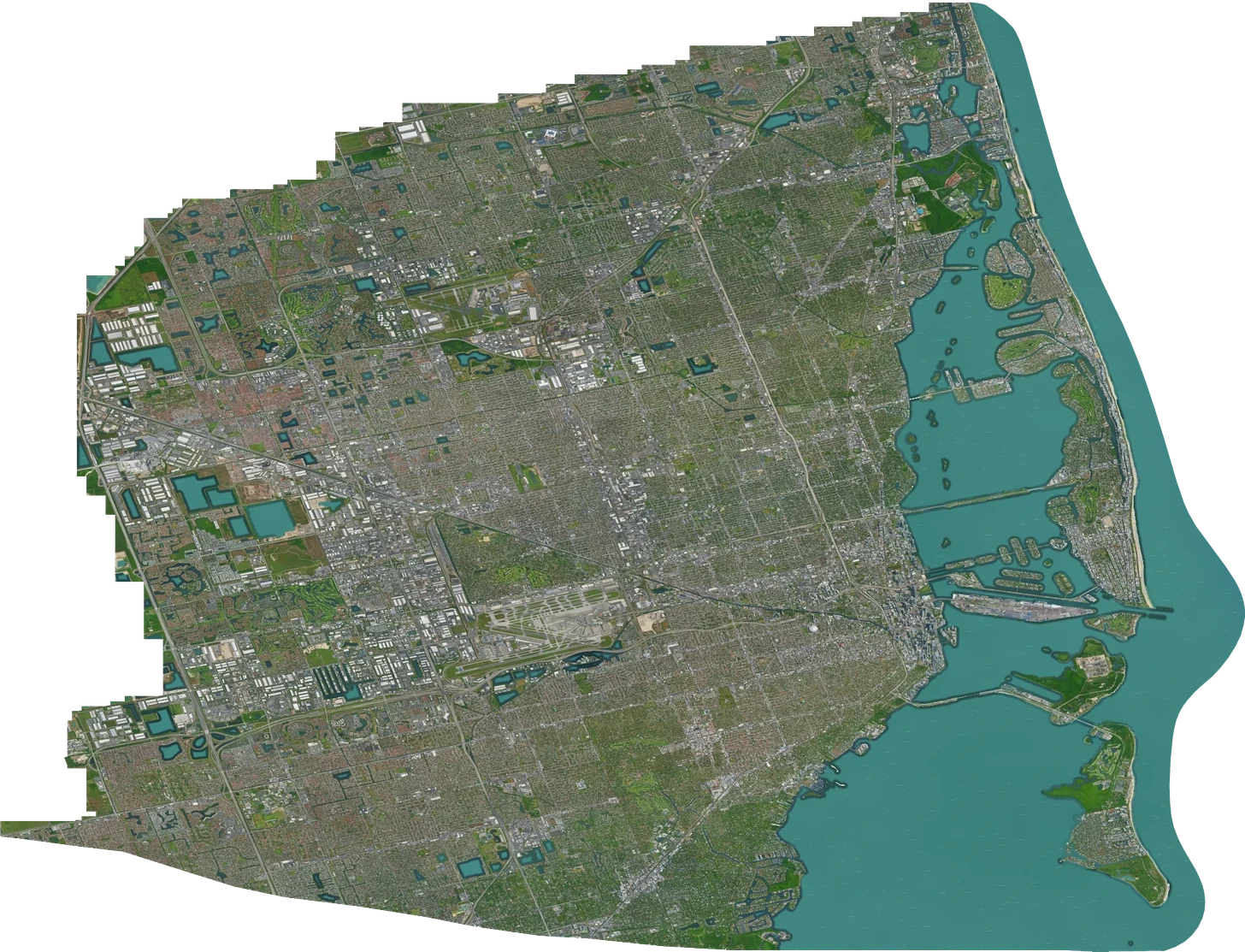
Miami

About this map

A pixel-art atlas of Miami-Dade County, from the streets of Brickell to the islands of Biscayne Bay.

Qwen and the Tiny London LoRA illustrate buildings and shorelines. A continuous pixel texture fills the open water.

Read how the map was made

Data sources

Imagery
Google Maps · Vexcel Imaging US, Inc. · Airbus · Maxar Technologies · Data SIO, NOAA, U.S. Navy, NGA, GEBCO
Water & shorelines
Miami-Dade County · U.S. Census Bureau (coastal hydrography) · Florida Fish and Wildlife Conservation Commission (habitat and benthic habitat) · © OpenStreetMap contributors
Place search
Miami place index © OpenStreetMap contributors · Open Database License. Additional place lookup by Photon. Street addresses from Miami-Dade County.

Share this view